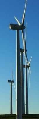
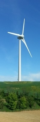
Cuando soplan vientos de cambio, algunos levantan muros y otros construyen molinos.
-
The Wind Power es una completa base de datos mundial sobre la energía eólica dirigida a los principales actores profesionales del mercado.
The Wind Power es una base de datos profesional pensada y dirigida para ustedes, los profesionales del sector de la energía eólica.
Los recursos de la página web han sido concebidos para que puedan sacar el máximo rendimiento a la información, ya sea con fines de investigación científica o estadística, de prospección empresarial para los actores nuevos y existentes del mercado, o de información para inversores, empresas consultoras y otros prestatarios. -

Toda la información contenida en la base de datos se actualiza continuamente para garantizar su exactitud y pertinencia y puede parametrarse en función de sus necesidades particulares para facilitar el análisis de los datos..
The Wind Power garantiza que ninguna de las fichas contiene datos con más de seis meses de antigüedad y ofrece una transparencia total sobre el contenido de las mismas, que podrá previsualizar y descargar en el sitio web.
Ya sea un cliente habitual de The Wind Power o desee saber cómo la base de datos puede responder a las necesidades concretas de su negocio, nuestro servicio de atención al cliente personalizado y reactivo estará a su disposición para cualquier cuestión o solicitud de ayuda adicional que pueda surgir antes, durante y después de la venta. -
Bases de datos y informes